

- Dates
- 2019-07-19 – 2019-07-25
- Kind
- Observation
- Where
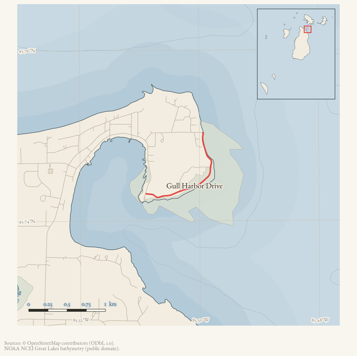
- Gull Harbor Drive
- Eras
- Modern era
- Concepts
- transportationpublic-safetycommunitytransportation-safety
- Within
- Gull Harbor Drive · Beaver Island
Summary
From July 19 through 25, 2019, a Beaver Island Forum thread recorded repeated community concerns about speeding and pedestrian and animal safety on Gull Harbor Road and nearby island roads. Participants discussed reporting dangerous driving, supplied a non-emergency number, and debated whether a traffic-safety study or changed limits should be pursued. A deputy reminded readers that drivers could be cited for unsafe speed under the basic speed law.
Evidence limits
This record documents the forum discussion and attributed participant experiences; it does not establish traffic speeds, a crash or animal-fatality record, the legal speed limit on any particular road, or completion of a traffic study, signage project, petition, or speed-limit change. The thread’s legal interpretations and secondhand accounts should not be treated as official determinations without corroborating county, state, township, or law-enforcement records.
Sources
- The thread contains multiple participant reports of speeding and danger to walkers, children, and animals on Gull Harbor Road, West Side Road, Kings Highway, Donegal Bay Road, and Allen’s Lakeview Road. It includes a posted non-emergency number and a deputy’s reminder about unsafe speed under Michigan’s basic-speed-law concept. Participant claims about a prior animal fatality, 55-mph limits, prior sheriff contact, signs, and the legal process for changing limits are not independently verified here.forum · www.beaverislandforum.com · posts · 14 · t014429
Added 7 August 2026. Recent changes
Cite this article
Beaver Island Archive, “Beaver Island forum discusses Gull Harbor road-speed safety, 2019”, https://beaverislandarchive.org/events/beaver-island-gull-harbor-road-speed-safety-discussion-2019/, accessed [date], citing Beaver Island Forum, “GullHarbor is not a DragStrip,” July 19–25, 2019, topic 14429, retrieved from the held forum archive..
Last revised 2026-08-07. Fill in [date] with the date you read it — this page is static and cannot know that.
BibTeX for “Beaver Island forum discusses Gull Harbor road-speed safety, 2019”RIS for “Beaver Island forum discusses Gull Harbor road-speed safety, 2019”