

- Dates
- 2019-06-05 – 2019-08-19
- Kind
- Observation
- Where
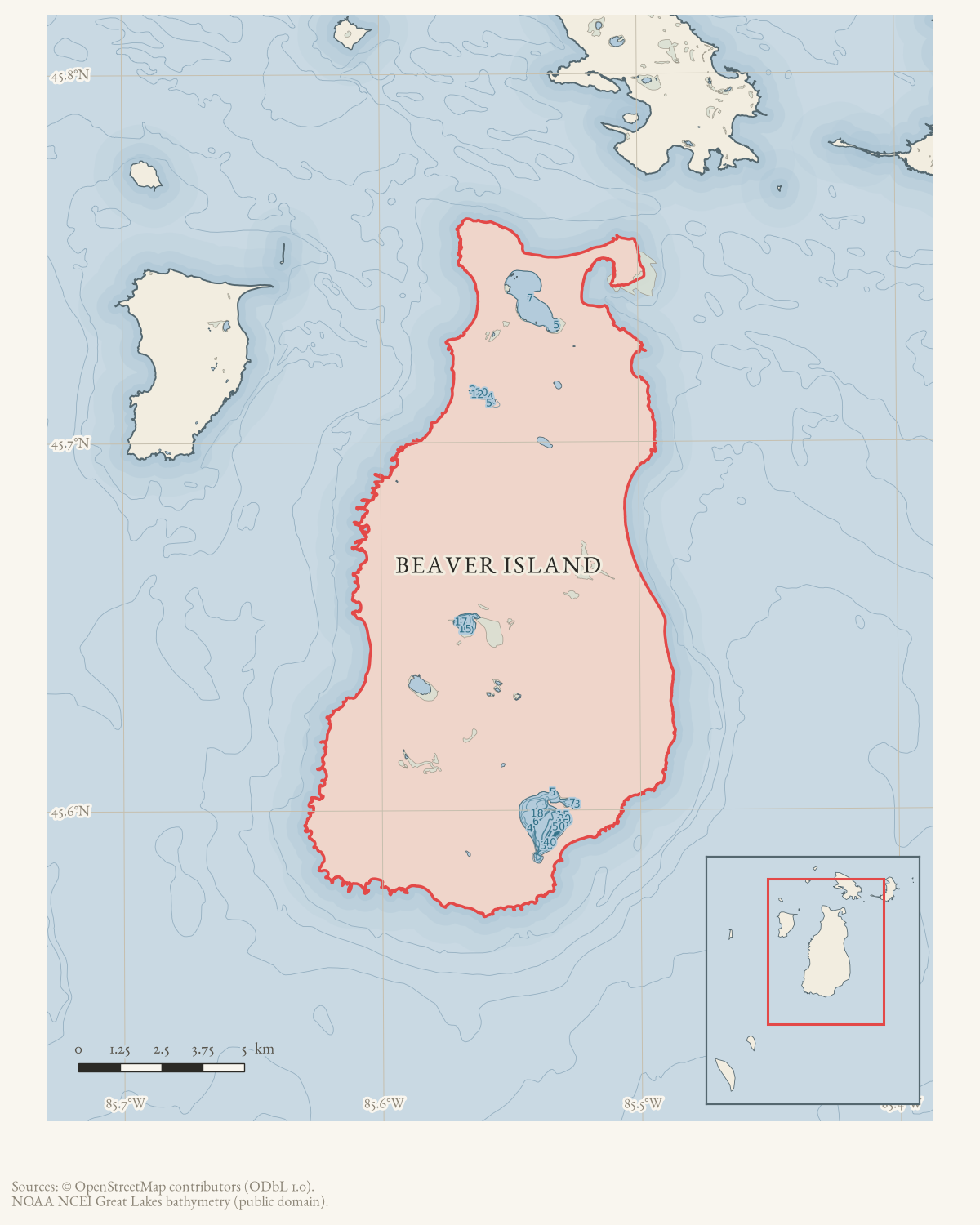
- Beaver Island
- Eras
- Modern era
- Concepts
- weatherwater-levelsshorelinepublic-service
- Within
- Beaver Island
Summary
In April 2019, forum participants reported isolated basement flooding during the spring thaw. In June and July 2019, U.S. Army Corps of Engineers notices reproduced in the Beaver Island Forum reported record monthly mean water levels on several Great Lakes and warned of additional records, coastal flooding, and shoreline erosion. The June notice said Lake Michigan–Huron was less than one inch below its June record. Local reports later described high waves removing a section of shoreline walkway and a small swim platform apparently being carried away by high winds and water. These sources provide basin-wide and local context for the Beaver Island Association’s later high-water planning, but the local reports are not engineering assessments.
Evidence limits
The federal notices are stronger than ordinary forum commentary for the regional water-level claims because they reproduce an identified agency bulletin. They do not provide a Beaver Island gauge reading, identify damage to a particular island property, or establish that a predicted flood or erosion effect occurred locally.
Sources
- A participant reported first-time basement flooding during the spring thaw; another reported some water intrusion during the March St. Patrick’s period, while later discussion mentioned possible high water near Font Lake and an offer of water/mold mitigation. These are local anecdotes, not gauge data, a damage survey, or proof that basin-wide high water caused the reported flooding.forum · www.beaverislandforum.com · 14 · t014043
- The reproduced federal news release forecast very high levels across the Great Lakes for summer 2019, with record highs expected on several lakes and possible coastal flooding and shoreline erosion. It provides basin-wide context, not a Beaver Island gauge reading or a local damage assessment.forum · www.beaverislandforum.com · 14 · t014069
- The reproduced federal notice reports preliminary May monthly mean records on Lakes Erie, St. Clair, and Superior, and warns that additional records and coastal flooding or shoreline erosion were possible. It is an official hydrologic bulletin reproduced in the forum, not a Beaver Island gauge measurement or property-damage assessment.forum · www.beaverislandforum.com · 14 · t014194
- The reproduced federal notice reports preliminary June monthly mean records on Lakes Superior, St. Clair, Erie, and Ontario, and says Lake Michigan–Huron was less than one inch below its June record. It documents basin-wide conditions and risk, not a local Beaver Island water-level reading or damage outcome.forum · www.beaverislandforum.com · 14 · t014368
- The Port St. James community gathering announcement said township supervisor Kitty McNamara would discuss the township’s response to high water on Font Lake. This documents local civic concern and planned information-sharing, not a hydrologic measurement, official response plan, or property-damage finding.forum · www.beaverislandforum.com · 14 · t014232
- A participant reported that high waves had removed an approximately eight-foot section of walkway into the lake and warned boaters about floating debris. This is a firsthand local observation, not an engineering inspection, gauge measurement, or basin-wide attribution.forum · www.beaverislandforum.com · 14 · t014568
- The post directed shoreline property owners to FEMA’s online Flood Map Service Center for address-based searches. It is a public-resource referral, not a determination of any Beaver Island parcel’s flood status or insurance requirement.forum · www.beaverislandforum.com · 14 · t014783
- A shoreline resident reported that high winds and water appeared to carry away a small swim platform from the western shore. This is a firsthand local observation, not an engineering assessment or proof that the loss was caused by basin-wide high water.forum · www.beaverislandforum.com · 14 · t014898
Added 7 August 2026. Recent changes
Cite this article
Beaver Island Archive, “Federal notices report record and near-record Great Lakes water levels, 2019”, https://beaverislandarchive.org/events/beaver-island-great-lakes-record-high-water-2019/, accessed [date], citing Joddy and participants, “water in basement,” Beaver Island Forum, April 21–May 1, 2019. (and 7 further sources listed on the page).
Last revised 2026-08-07. Fill in [date] with the date you read it — this page is static and cannot know that.
BibTeX for “Federal notices report record and near-record Great Lakes water levels, 2019”RIS for “Federal notices report record and near-record Great Lakes water levels, 2019”