

The archive's own cartography · relief, on paper
Relief prints
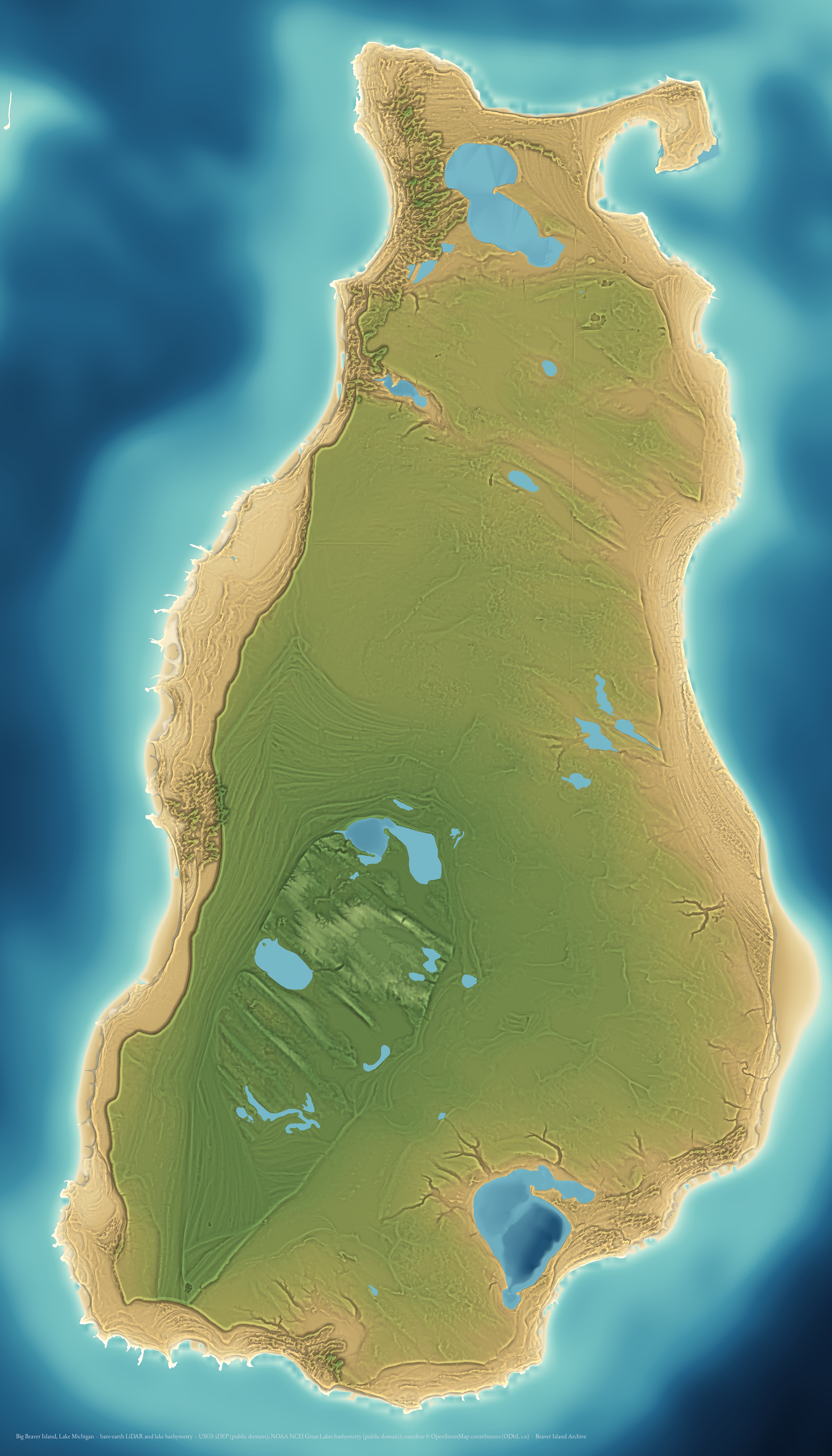
The same bare-earth LiDAR as the relief viewer, drawn flat and large instead of turnable. One island, as a single continuous surface from the floor of Lake Michigan to the top of its highest dune — about 195 metres of relief. The land is 1-metre bare-earth LiDAR; the lake floor is NOAA's acoustic grid. Every sheet here is 5,106 × 8,936 pixels, which is 17.0 × 29.8 inches at 300 dpi.
These are free to download and use under the terms the sources carry. The elevation data is public domain — USGS and NOAA — and the coastline is © OpenStreetMap contributors under ODbL 1.0, so the credit line printed on each sheet needs to stay with it.
Why the water is smooth and the land is not
The two surveys are 70 times apart in resolution: the LiDAR resolves a metre, the lake grid about 65–90. That difference is visible in every sheet and it has been left visible. Smoothing the land to match the water would throw away the beach ridges, and sharpening the water to match the land would invent a lake floor nobody measured.
The two agree where they meet, which is why they can be joined at all. The bathymetric grid tops out at 75 m above the lake datum; the LiDAR's summit stands 73.3 m above the same surface. The same island, measured twice by different instruments, agreeing to under two metres.
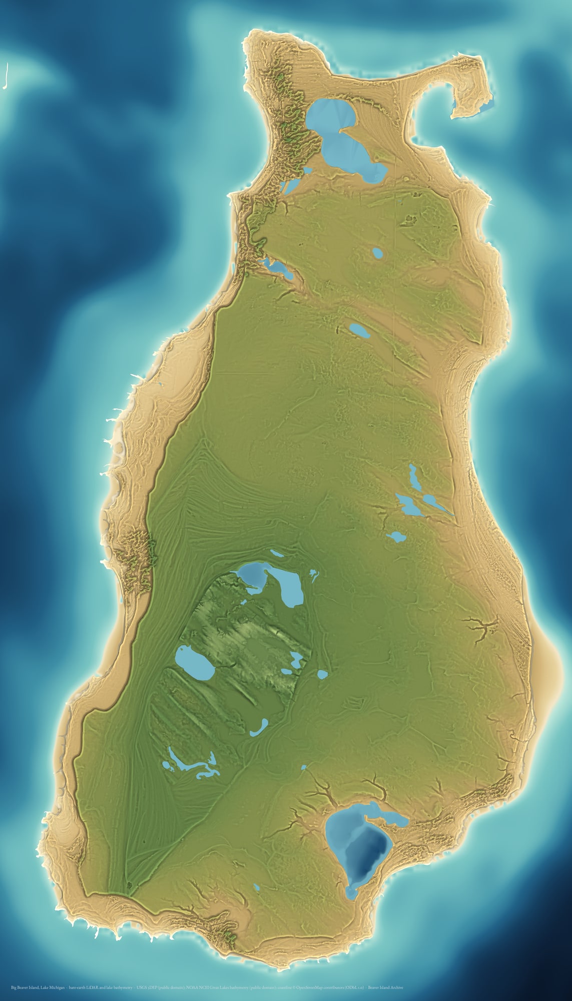
The print
Colour by elevation, lit from four directions, from 95 m below the lake surface to 74 m above it. The land is 1 m LiDAR and the lake floor is an acoustic grid 70 times coarser, which is why one is sharp and the other smooth. The four inland lakes the Michigan DNR has sounded — Geneserath, Font, Fox and Barney's — carry their own measured floors; the rest of the island's lakes have never been sounded and stay flat.
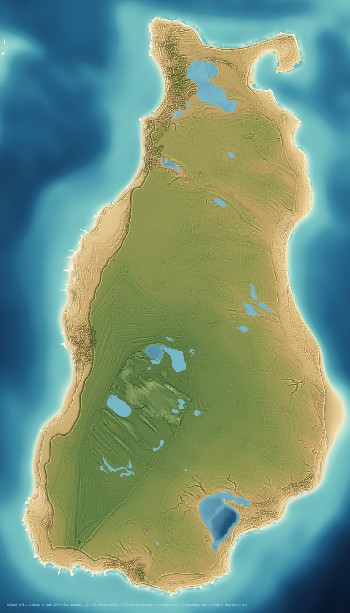
The print, with contours
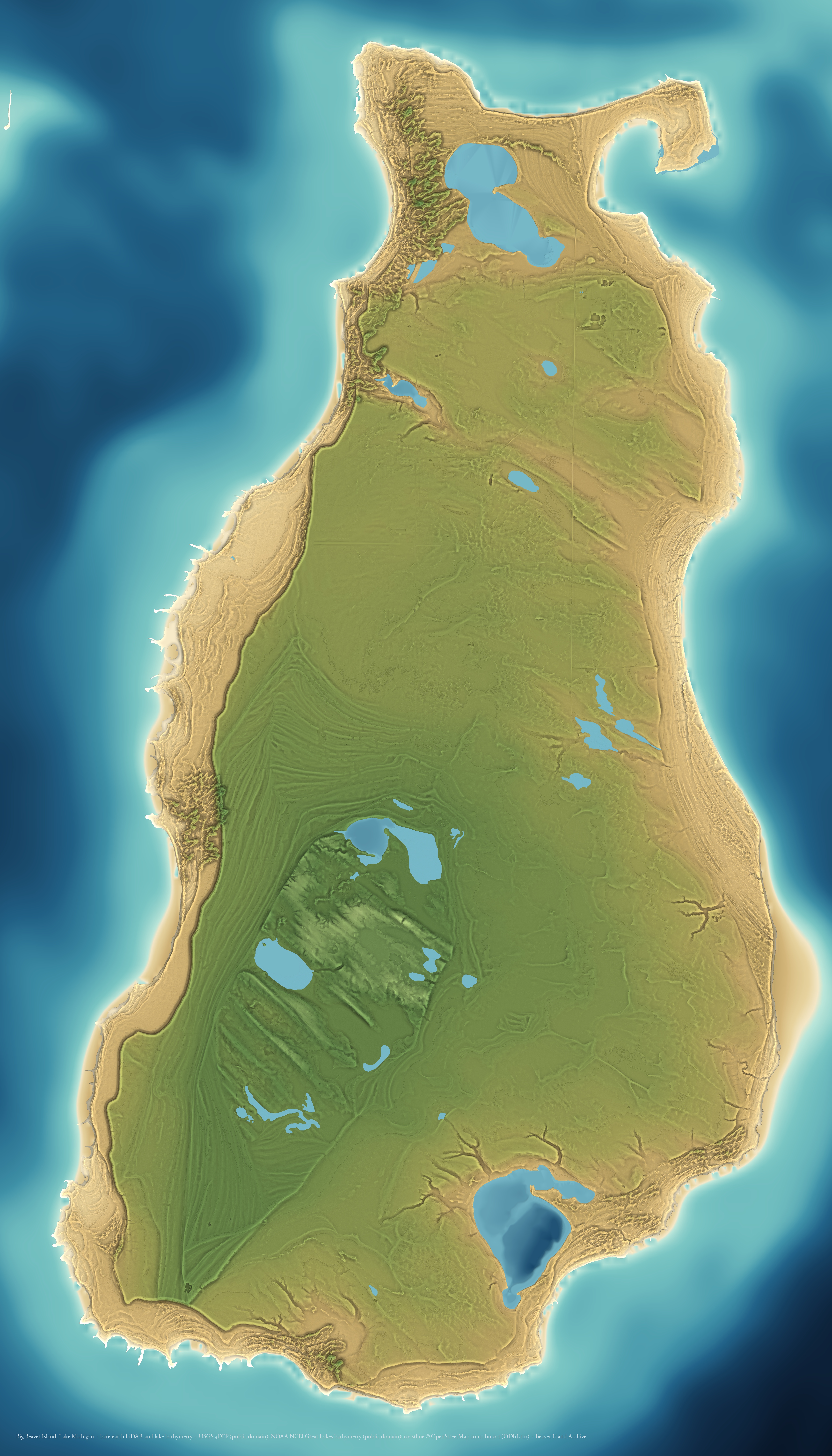
The same sheet with a 5 m contour laid over the land — a second reading for anyone who wants to measure as well as look.
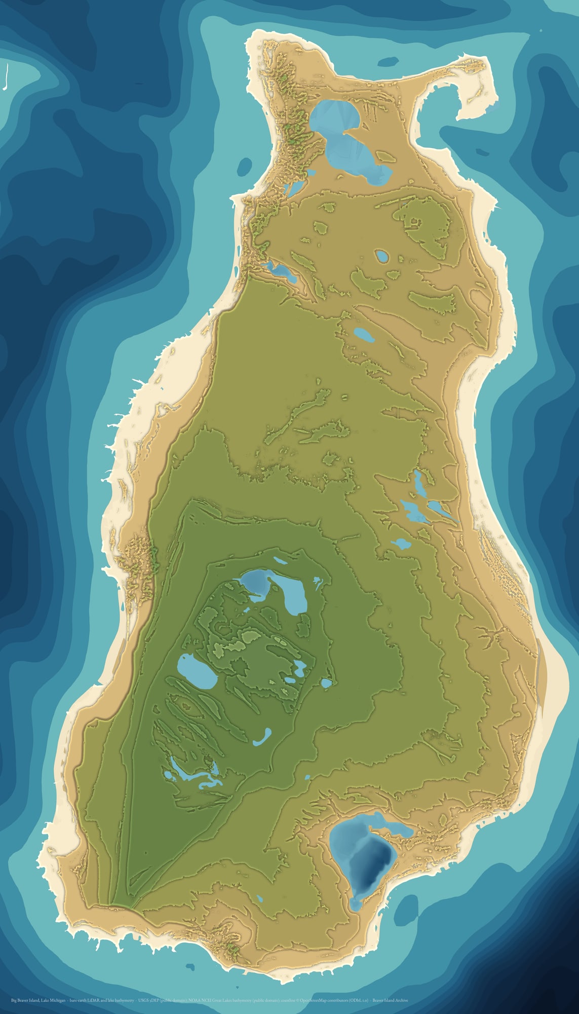
Stepped bands
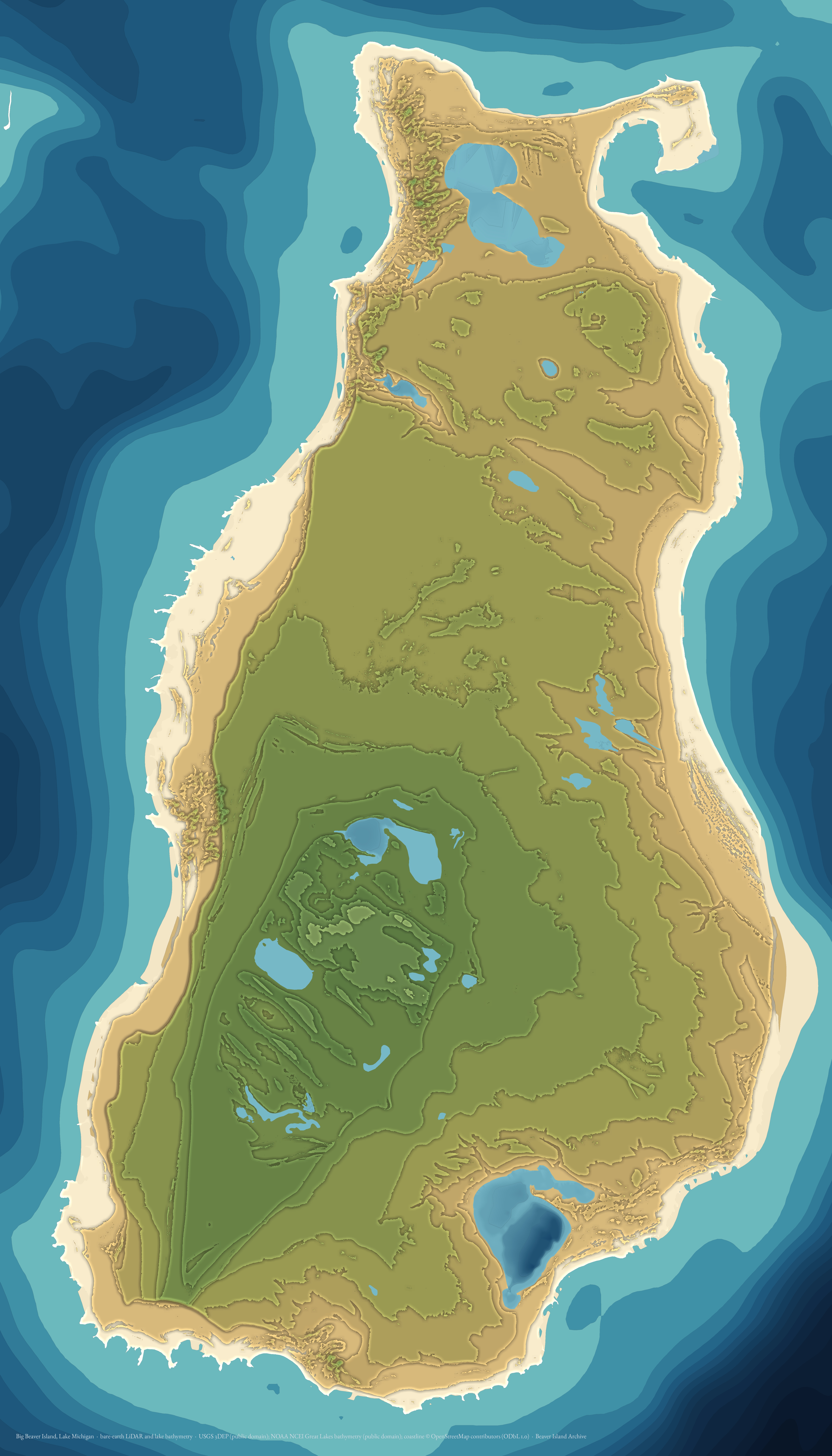
Elevation cut into 6 m steps, one flat tone each. This is the sheet to work from for a stacked-plywood or laser-cut relief: each band is one layer. Lake Geneserath steps down through its own bands, its floor falling below Lake Michigan datum.
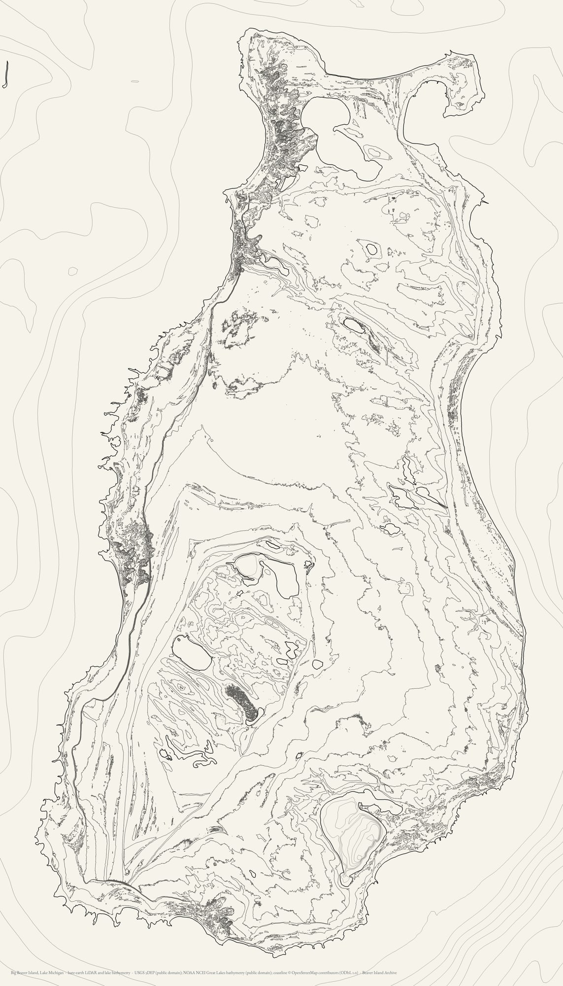
The line work
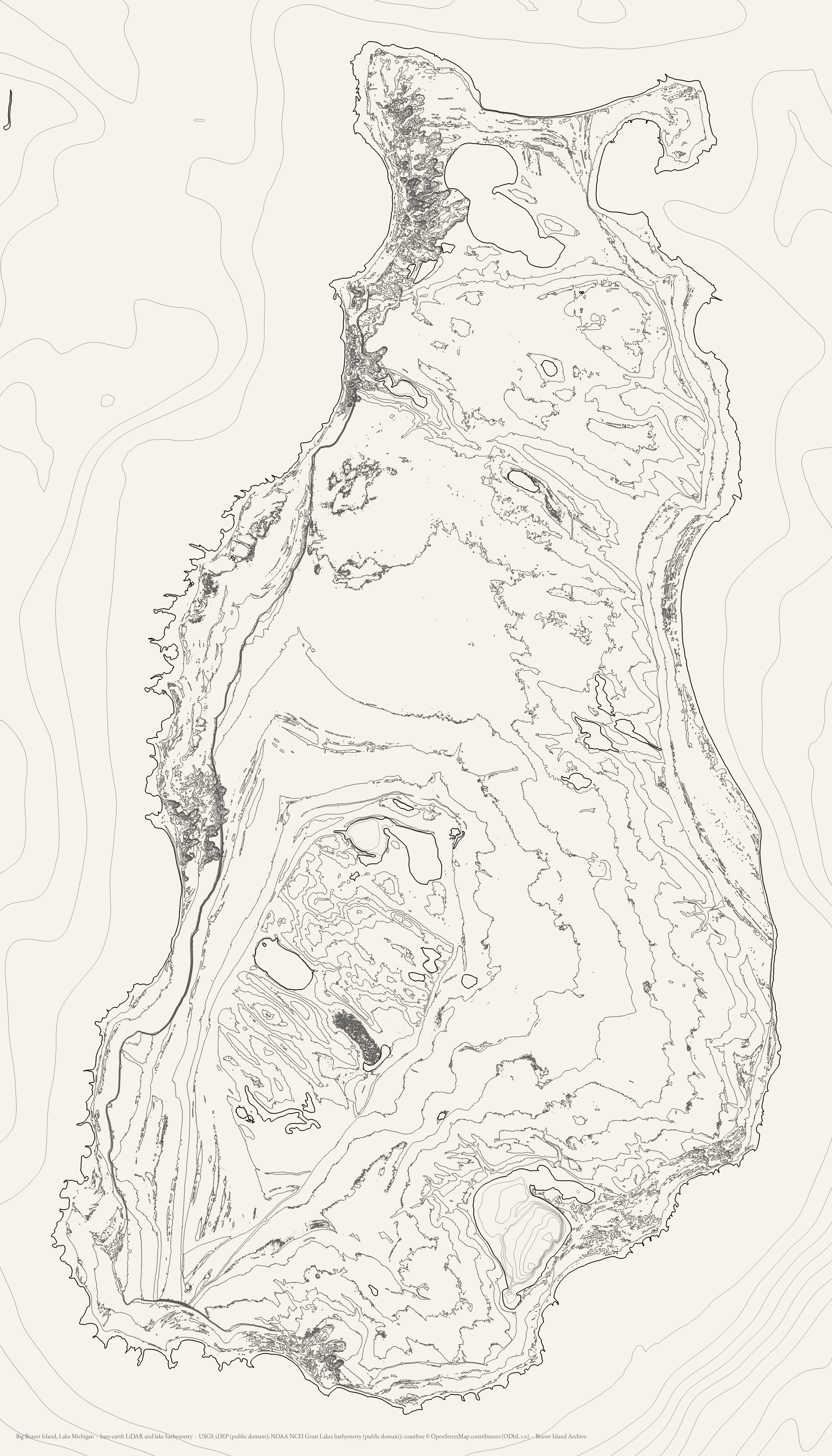
Contours and coastline alone on paper, weighted for a press rather than a screen. For pen plotting, screen printing, or etching. Land at 4 m, the Lake Michigan basin at 10 m and the four sounded inland lakes at 2 m — the water lines lighter than the land, because an acoustic grid and a digitised sounding are not 1 m lidar.
The heightfield
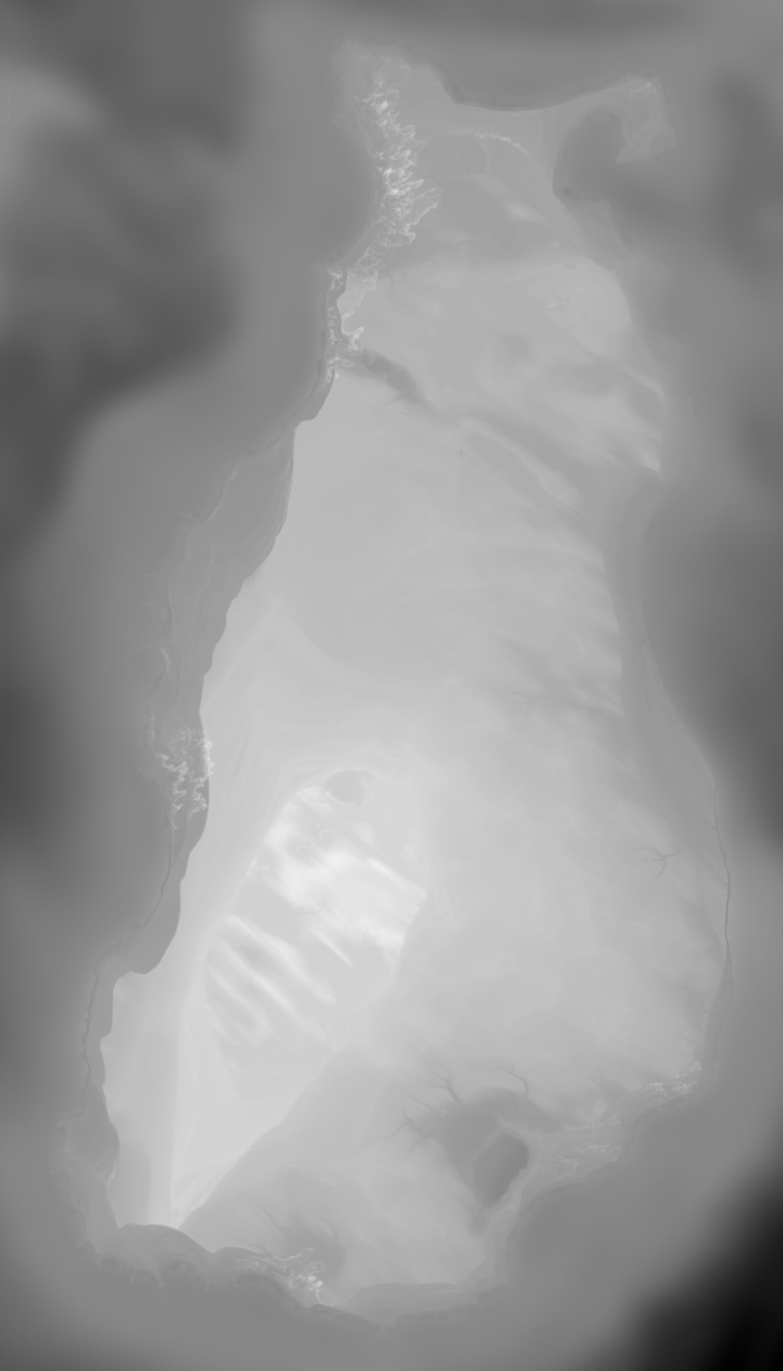
16-bit greyscale, linear in elevation and carrying no shading or colour: the input a CNC toolpath reads. It includes the lake floor, which is what makes it the right file for an epoxy pour — and now the floors of the four inland lakes that have been sounded, so Lake Geneserath is a basin rather than a lid.



If you are cutting rather than printing
Stepped bands and the heightfield are the two to take. The bands are already quantised into 6 m steps, so each band is one sheet of a stacked build. The heightfield is linear in elevation with no shading baked in, which is what a carving toolpath wants — and it carries the lake floor as well as the land, so it is also the file to use if you mean to pour the water.