

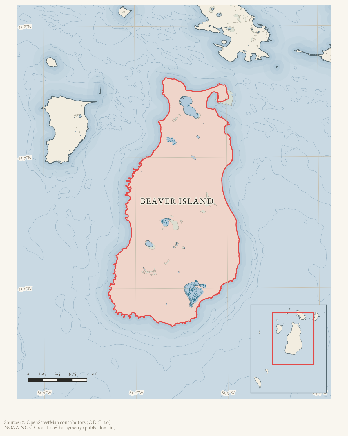
- Along road
- Airport Road
- Coordinates
- 45.6926° N, 85.5595° WGoogle Maps: Dutch AcresDownload KML
- Eras
- Modern era
- Concepts
- agricultureconservationland-use
- Within
- Beaver Island
Summary
Dutch Acres was the name of Bruce Meixsell’s Beaver Island property in a March 1962 Beaver Beacon report. The article places it on Airport Road while describing Meixsell’s requests for permits to release hatchery turkeys and Chinese ringneck pheasants.
This is a source-qualified property record. The map point is an approximate Airport Road route locator, not a parcel or building point. The notice does not identify a parcel, exact address, boundary, buildings, or later ownership.
Open questions
- Can county parcel or tax records locate Dutch Acres precisely?
- Was Dutch Acres a farm, hunting property, residence, or another land use?
- Are later references or photographs available under the same name?
Sources
- Identifies Bruce Meixsell as owner of Dutch Acres on Airport Road and reports his efforts to obtain permits for wild-turkey and pheasant releases. It supplies no parcel, address, boundary, or structure inventory.data1 · beaver-island-archive · beaver_beacon · 1962-03_Beaver-Beacon
- The held six-page issue scan is paired with the OCR source and confirms the published notice or report; it does not expand the source-specific identity, event, or outcome claims.data1 · beaver-island-archive · scans · beaver_beacon · issues · 1962-03_Beaver-Beacon
- The coordinate is the current Airport Road route point, used as a road-level locator because the 1962 notice identifies Dutch Acres only as being on Airport Road; it is not the property parcel or a structure location.osm · roads
Added 2 August 2026 · revised 3 August 2026. Recent changes
Cite this article
Beaver Island Archive, “Dutch Acres”, https://beaverislandarchive.org/structures/dutch-acres/, accessed [date], citing Beaver Beacon, March 1962, “Turkey Talk.” (and 2 further sources listed on the page).
Last revised 2026-08-03. Fill in [date] with the date you read it — this page is static and cannot know that.