

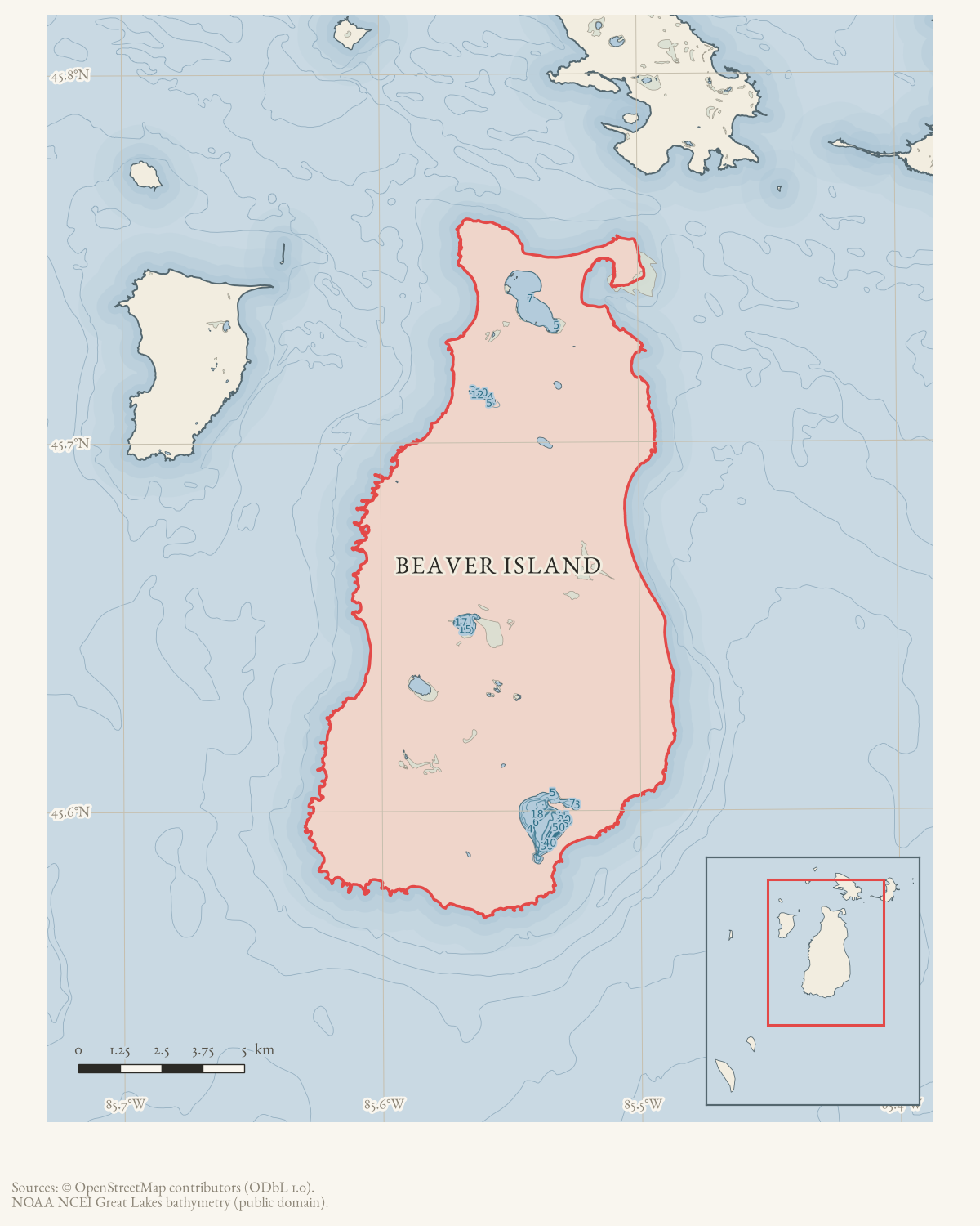
- Coordinates
- 45.7510° N, 85.5154° WGoogle Maps: Beaver Island Township cemeteryDownload KML
- Eras
- Modern era
- Concepts
- communitydemographyheritage
- Within
- Beaver Island
Summary
The December 1960 obituary for Max Sondereggor names the Beaver Island Township cemetery as his place of interment.
Evidence and limits
This article records a source-named cemetery, not a surveyed or directory-backed resource. The current township parcel provides a reproducible approximate locator, but no boundary, founding date, plot, or relationship to Holy Cross Cemetery is inferred.
Open questions
- Where was the Beaver Island Township cemetery, and what records document its plots and relationship to other island cemeteries?
The dated record
Sources
- Reports Max Sondereggor's interment at the Beaver Island Township cemetery. This single obituary establishes the printed cemetery name but does not provide a map, boundary, founding date, plot, or directory.data1 · beaver-island-archive · beaver_beacon · 1960-12_Beaver-Beacon
- The held five-page issue scan is paired with the OCR source and confirms the published notice or report; it does not expand the source-specific identity, event, or outcome claims.data1 · beaver-island-archive · scans · beaver_beacon · issues · 1960-12_Beaver-Beacon
- The current map result places Saint James Township Cemetery at approximately 45.7509508, -85.5154099; this is used as the likely present-day cemetery representative for the 1960 newspaper name, not as proof that the historical name and current cemetery boundary are identical.
- PIN 013-222-021-00 is owned by TOWNSHIP OF ST JAMES, carries current situs 38303 Gallagher Ave, and has the listed representative point used as the current cemetery parcel anchor. It supports the present-day association but does not prove that the 1960 newspaper name and current cemetery boundary are identical.county · charlevoix · parcels_arcgis · 2026-08-01 · island_parcel_attributes
Added 1 August 2026 · revised 6 August 2026. Recent changes
Cite this article
Beaver Island Archive, “Beaver Island Township cemetery”, https://beaverislandarchive.org/structures/beaver-island-township-cemetery/, accessed [date], citing Beaver Beacon, December 1960, “Obituary.” (and 3 further sources listed on the page).
Last revised 2026-08-06. Fill in [date] with the date you read it — this page is static and cannot know that.
BibTeX for “Beaver Island Township cemetery”RIS for “Beaver Island Township cemetery”