

- Coordinates
- 45.7050° N, 85.4943° WGoogle Maps: Sandy PointDownload KML
- Eras
- Modern era
- Concepts
- toponymytourism
- Within
- Beaver Island
Summary
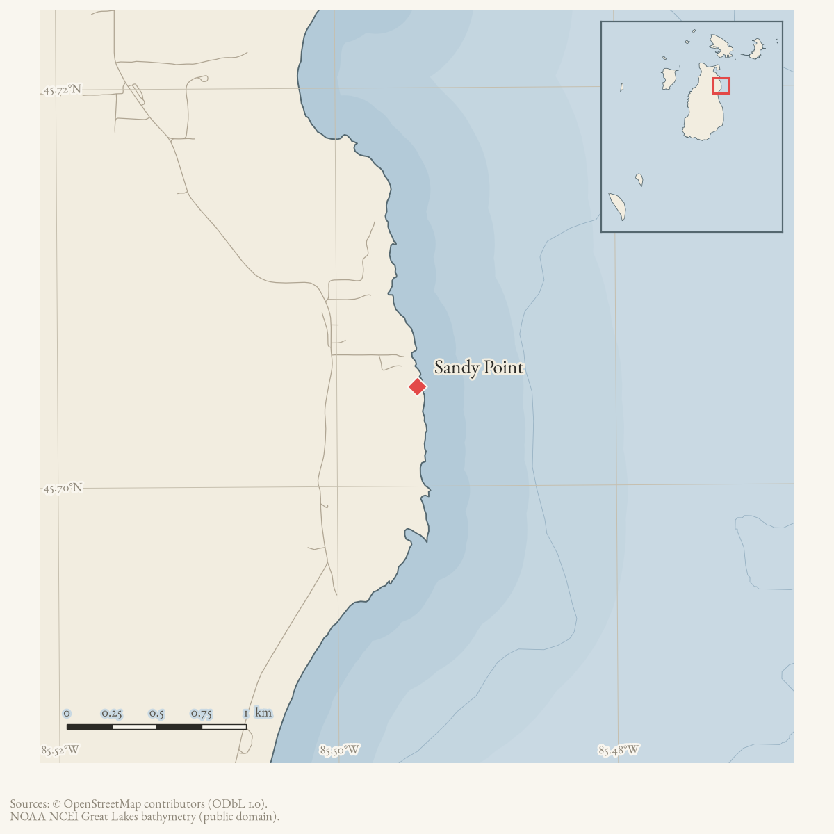
Sandy Point is a GNIS-named cape on Beaver Island. Several Beaver Island tour maps reproduced in the 1980 Charlevoix Courier label Sandy Point among the island’s coastal features, documenting continued public/cartographic use of the name. The maps do not establish the point’s namesake, shoreline history, or a distinct public facility.
Open questions
- Who or what gave Sandy Point its name?
- Can nautical charts or local property records define the point’s physical extent and historical use?
Sources
- GNIS feature 637232; feature class 'Cape'.federal · gnis · gnis_names
- Charlevoix Courier, 1980, Beaver Island tour maps.Multiple illustrated Beaver Island tour advertisements in the 1980 Courier label Sandy Point on maps of the island. The map labels establish geographic use but do not provide a name origin. No public copy of this file is known; the archive holds one and can provide it on request.
Added 28 July 2026 · revised 1 August 2026. Recent changes
Cite this article
Beaver Island Archive, “Sandy Point”, https://beaverislandarchive.org/places/sandy-point/, accessed [date], citing U.S. Geological Survey, Geographic Names Information System, Domestic Names (Michigan), retrieved 2026-07-28. (and 1 further source listed on the page).
Last revised 2026-08-01. Fill in [date] with the date you read it — this page is static and cannot know that.