

Place
- Coordinates
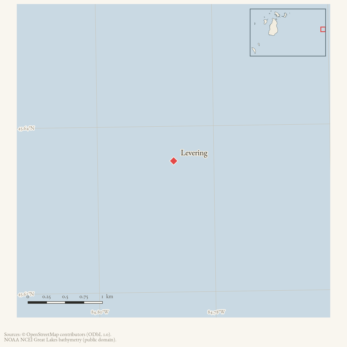
- 45.6358° N, 84.7869° WGoogle Maps: LeveringDownload KML
- Eras
- Modern era
- Concepts
- communityconservationenvironment
Summary
Levering is named in the April 1961 Beaver Beacon as the place near which a Beaver Island-tagged coyote was shot.
Sources
- Names Levering as the place near which a coyote tagged on Beaver Island was shot. This record preserves the newspaper’s place reference without inferring a tag-recovery coordinate.data1 · beaver-island-archive · beaver_beacon · 1961-04_Beaver-Beacon
- The held six-page issue scan is paired with the OCR source and confirms the published notice or report; it does not expand the source-specific identity, event, or outcome claims.data1 · beaver-island-archive · scans · beaver_beacon · issues · 1961-04_Beaver-Beacon
- Reports the CDP label point at 45°38′09″N, 84°47′13″W and cites the U.S. Census Bureau and GNIS. This is a map anchor for Levering, not a coordinate for the coyote recovery.
Added 1 August 2026 · revised 3 August 2026. Recent changes
Cite this article
Beaver Island Archive, “Levering”, https://beaverislandarchive.org/places/levering/, accessed [date], citing Beaver Beacon, April 1961, “Game Club News.” (and 2 further sources listed on the page).
Last revised 2026-08-03. Fill in [date] with the date you read it — this page is static and cannot know that.