

- Coordinates
- 45.6981° N, 85.4945° WGoogle Maps: Conn’s PointDownload KML
- Eras
- Modern era
- Concepts
- toponymymaritime
- Within
- Beaver Island
- Media
- Beaver Island History Map, 1978 revision
Summary
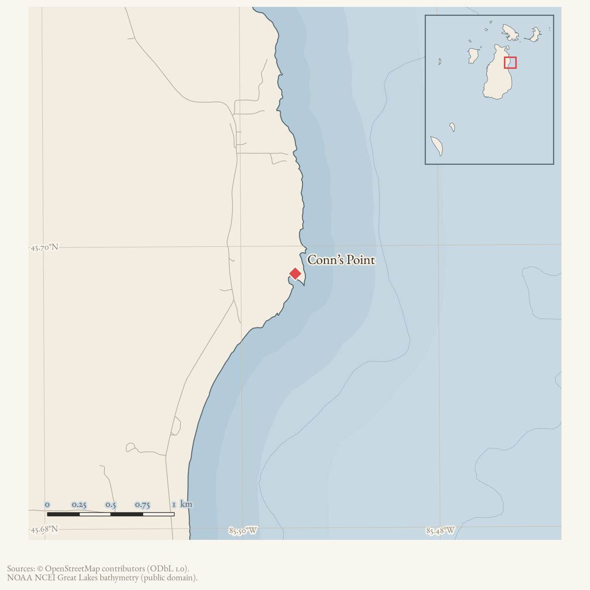
Conns Point is a GNIS-named cape on Beaver Island. The GNIS feature description records the local naming account: Cornelius “Conn” McCauley, an early settler and fisherman, kept his boat in a sheltered pond at the point. The official record also lists “Conn Point” as a variant name. This is a source-attributed naming account; the held sources do not yet establish the date of the settlement or the point’s later maritime use.
The March 1972 family account adds a separate retrospective detail: Clementine McCauley says her grandfather Conal built the family’s fishing boats at Con’s Point.1 It complements the GNIS naming account but does not establish the date, scale, or surviving location of a boatbuilding site.
Open questions
- What local or historical sources can date Cornelius McCauley’s residence and fishing activity?
- Which charts or property records define the sheltered pond and point’s changing shoreline?
Footnotes
-
Clementine McCauley, “How the Irish Came to Settle on Beaver Island,” Beaver Beacon, March 1972. ↩
Sources
- GNIS feature 623704; feature class 'Cape'.federal · gnis · gnis_names
- Feature 623704 description names Cornelius “Conn” McCauley as an early settler and fisherman who kept his boat in a sheltered pond at the point.federal · gnis · gnis_feature_descriptions
- Variant names: Conn Point.federal · gnis · gnis_variant_names
- Family account says her grandfather Conal McCauley built fishing boats at Con's Point; this is a retrospective naming/use attestation, not a surveyed boatyard record.data1 · beaver-island-archive · beaver_beacon · 1972-03_Beaver-Beacon
- The held eleven-page issue scan is paired with the OCR source and confirms the published notice or report; it does not expand the source-specific identity, event, or outcome claims.data1 · beaver-island-archive · scans · beaver_beacon · issues · 1972-03_Beaver-Beacon
- Described in this archive: Beaver Island History Map, 1978 revision.Attributes the point to Conn McCauley sheltering his fishing boat in the pond. GNIS independently preserves substantially the same naming account, while the family account supplies boatbuilding rather than this exact sheltering detail.
Added 28 July 2026 · revised 7 August 2026. Recent changes
Cite this article
Beaver Island Archive, “Conn’s Point”, https://beaverislandarchive.org/places/conns-point/, accessed [date], citing U.S. Geological Survey, Geographic Names Information System, Domestic Names (Michigan), retrieved 2026-07-28. (and 5 further sources listed on the page).
Last revised 2026-08-07. Fill in [date] with the date you read it — this page is static and cannot know that.