

Organization
- Coordinates
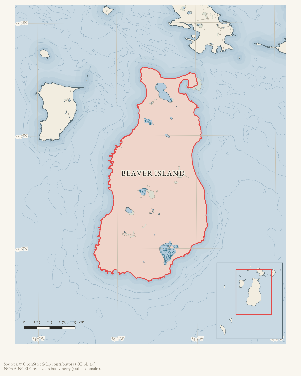
- 45.7511° N, 85.5156° WGoogle Maps: Hyde and Doolittle FisheriesDownload KML
- Eras
- Modern era
- Concepts
- fishingeconomycommunity
- Within
- Beaver Island
Summary
Hyde and Doolittle Fisheries is identified in October 1961 as a St. James fishery operated by owners Charles and Dick Martin.
Evidence and limits
This is a source-qualified business record, not an incorporation or complete commercial history.
Sources
- Names Hyde and Doolittle Fisheries as a St. James fishery setting whitefish nets and identifies Charles and Dick Martin as its owners. The notice does not establish incorporation, founding, ownership history, or a complete business identity.data1 · beaver-island-archive · beaver_beacon · 1961-10_Beaver-Beacon
- The held five-page issue scan is paired with the OCR source and confirms the published notice or report; it does not expand the source-specific identity, event, or outcome claims.data1 · beaver-island-archive · scans · beaver_beacon · issues · 1961-10_Beaver-Beacon
- The newspaper calls Hyde and Doolittle Fisheries a St. James fishery but gives no dock or parcel address. This record uses the mapped Saint James place point as an operating-setting locator, not the fishery’s exact site.federal · gnis · gnis_names
Added 1 August 2026 · revised 6 August 2026. Recent changes
Cite this article
Beaver Island Archive, “Hyde and Doolittle Fisheries”, https://beaverislandarchive.org/organizations/hyde-and-doolittle-fisheries-1961/, accessed [date], citing Beaver Beacon, October 1961, “Whitefish Return.” (and 2 further sources listed on the page).
Last revised 2026-08-06. Fill in [date] with the date you read it — this page is static and cannot know that.
BibTeX for “Hyde and Doolittle Fisheries”RIS for “Hyde and Doolittle Fisheries”