

Keyword · 11 objects
survey grid
A keyword drawn from what is visible in these objects, rather than from a fixed list. It exists because someone will look for this and nothing else. Spanning 6 maps, 2 photographs, 2 plates — this archive's own cartography, 1 nautical charts.
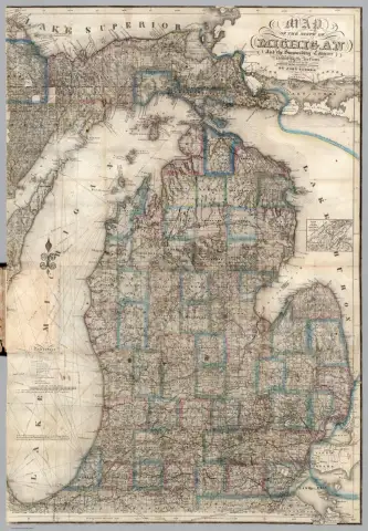 John Farmer map of Michigan, 18531853 · David Rumsey Map Collection
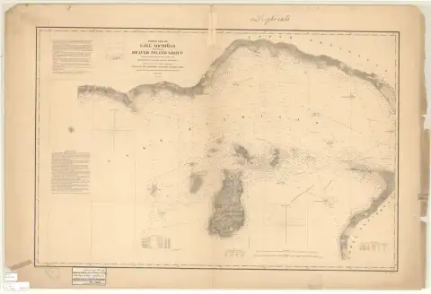 North End of Lake Michigan Including the Beaver Island Group, 1855 Lake Survey1855 · NOAA Office of Coast Survey, Historical Map & Chart Collection
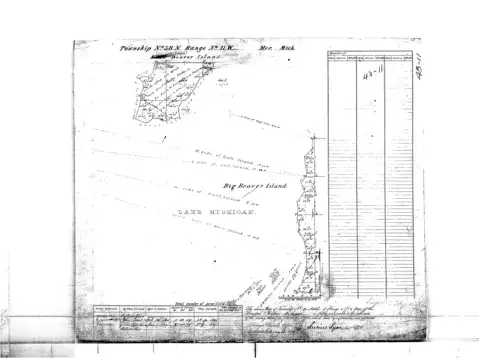 GLO survey plat, T38N R11W, Beaver archipelago (originals approved cBureau of Land Management, General Land Office records
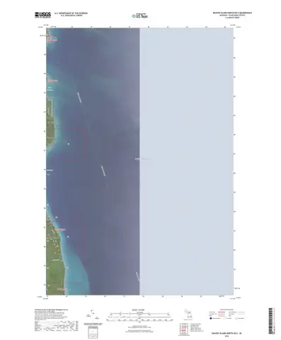 US Topo 7.5-minute map for Beaver Island North OE E, MIU.S. Geological Survey
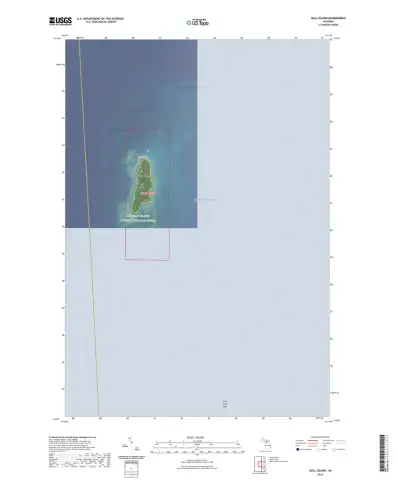 US Topo 7.5-minute map for Gull Island, MIU.S. Geological Survey
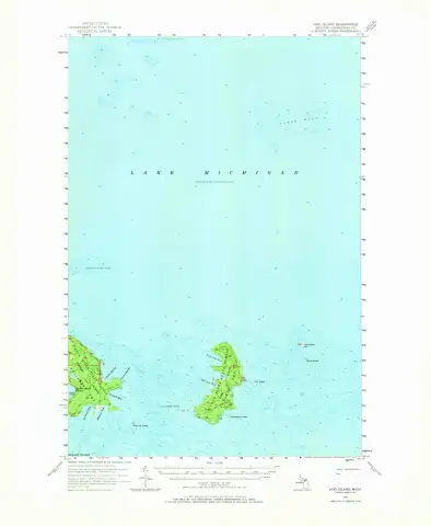 USGS 1:62500-scale Quadrangle for Hog Island, MI 1955 · hog-island-1955-62500-278200U.S. Geological Survey
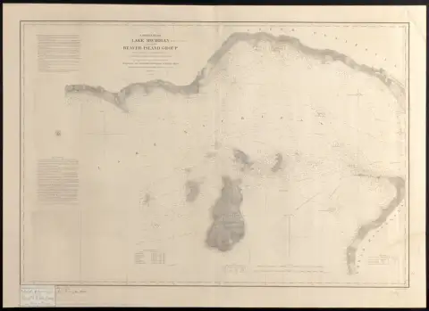 full imageLeventhal Map & Education Center
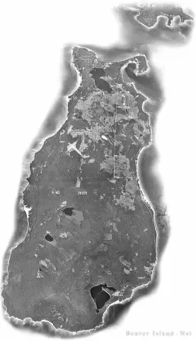 beaverisland.net community site (incl · 1973beaverbeaverisland.net
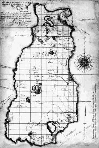 Posted to Beaver Island Historical Society (Facebook page) by Beaver Island Historical Society on 2019-10-08 15:01:03Individual posters, credited per image
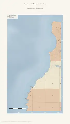 Beaver Island land-survey detail — NorthwestDrawn from the archive's own data in EPSG:3078. Map data © OpenStreetMap contributors (ODbL 1.0); BLM Cadastral Survey / PLSS and BLM General Land Office Records; Michigan Geographic Framework PLSS; USGS 3DEP (public domain).
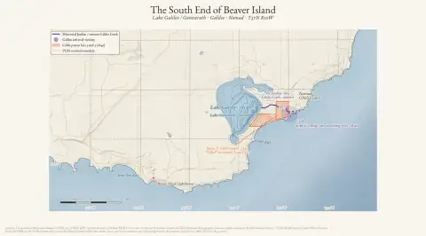 The South End of Beaver IslandDrawn from the archive's own data in EPSG:3078. Map data © OpenStreetMap contributors (ODbL 1.0); USGS 3DEP and National Hydrography Dataset (public domain); NOAA NCEI bathymetry (public domain); BLM Cadastral Survey / PLSS and General Land Office records.