

Keyword · 10 objects
navigation marks
A keyword drawn from what is visible in these objects, rather than from a fixed list. It exists because someone will look for this and nothing else.
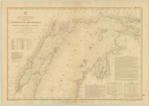 NORTH END OF LAKE MICHIGAN INCLUDING GREEN BAY AND THE STRAITS OF MACKINAC (1867)1867 · NOAA Office of Coast Survey
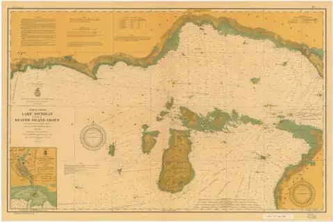 North End of Lake Michigan including the Beaver Island Group (1903)1903 · NOAA Office of Coast Survey, Historical Map & Chart Collection
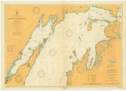 NORTH END OF LAKE MICHIGAN INCLUDING GREEN BAY (1912)1912 · NOAA Office of Coast Survey
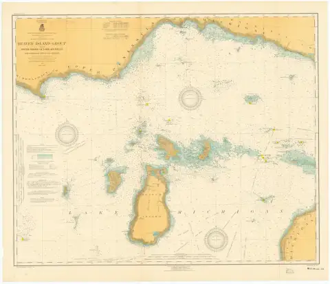 Beaver Island Group nautical chart, 19171917 · NOAA Office of Coast Survey, Historical Map & Chart Collection
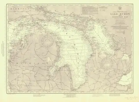 LAKE HURON AND GEORGIAN BAY (1918) · 1476-a-4-19181918 · NOAA Office of Coast Survey
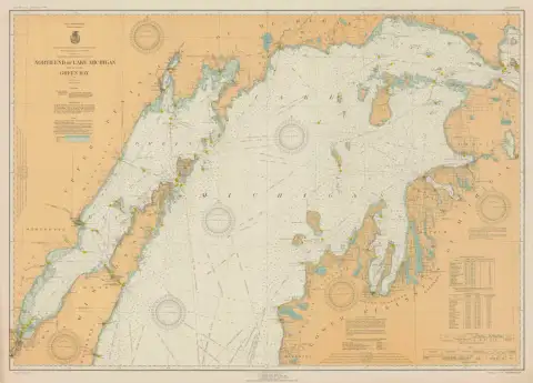 NORTH END OF LAKE MICHIGAN INCLUDING GREEN BAY (1930)1930 · NOAA Office of Coast Survey
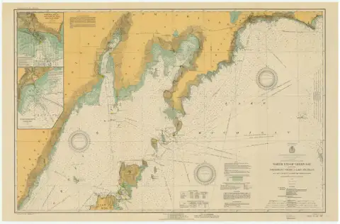 North End of Green Bay including Northwest Shore of Lake Michigan, from Seul Choix Pt. to Porte Des Morts Passage (1930)1930 · NOAA Office of Coast Survey, Historical Map & Chart Collection
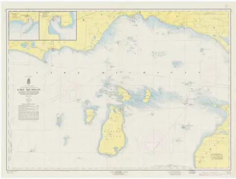 Lake Michigan, Waugoshance Point to Boulder Reef and Brevort to Seul Choix Point, Mich. including Beaver Island Group (1960)1960 · NOAA Office of Coast Survey, Historical Map & Chart Collection
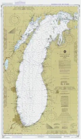 LAKE MICHIGAN (1984)1984 · NOAA Office of Coast Survey
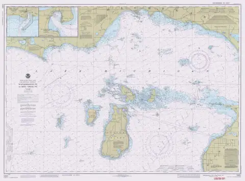 WAUGOSHANCE PT TO SEUL CHOIX PT (1989)1989 · NOAA Office of Coast Survey