

Keyword · 10 objects
maritime navigation
A keyword drawn from what is visible in these objects, rather than from a fixed list. It exists because someone will look for this and nothing else. Spanning 7 nautical charts, 3 photographs.
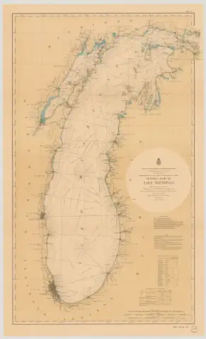 GENERAL CHART OF LAKE MICHIGAN. (1898)1898 · NOAA Office of Coast Survey
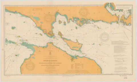 Straits of Mackinac with the Approaches Thereto from Lakes Huron and Michigan and the Entrance by the Detour Passage to the St. Mary's River (1908)1908 · NOAA Office of Coast Survey, Historical Map & Chart Collection
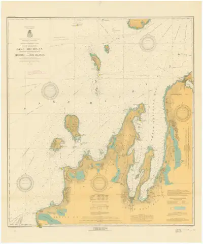 Lake Michigan, Frankfort to Charlevoix, Mich. including Manitou and Fox Islands (1916)1916 · NOAA Office of Coast Survey, Historical Map & Chart Collection
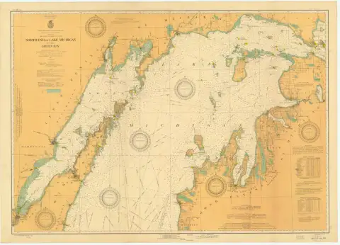 NORTH END OF LAKE MICHIGAN INCLUDING GREEN BAY (1927)1927 · NOAA Office of Coast Survey
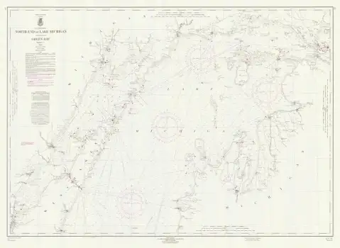 NORTH END OF LAKE MICHIGAN INCLUDING GREEN BAY (1963) · 70-10-19631963 · NOAA Office of Coast Survey
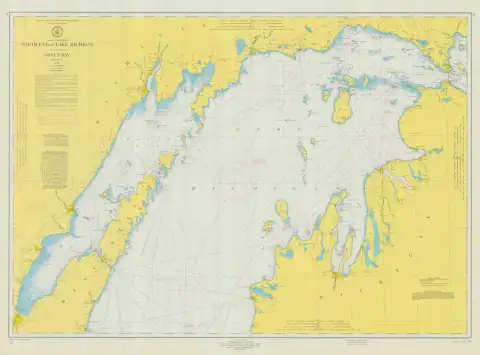 NORTH END OF LAKE MICHIGAN INCLUDING GREEN BAY (1972) · 70-11-1972color1972 · NOAA Office of Coast Survey
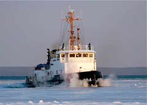 quite a show of power (2008)2008 · Beaver Beacon (individual photographers credited per image)
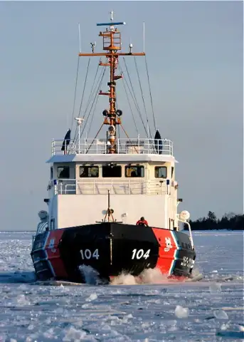 get out of the way (2008)2008 · Beaver Beacon (individual photographers credited per image)
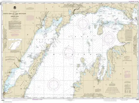 North end of Lake Michigan, including Green Bay (2020)2020 · NOAA Office of Coast Survey
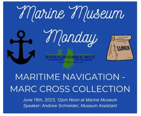 Posted to Beaver Island Historical Society (Facebook page) by Beaver Island Historical Society on 2023-06-19 11:51:48Individual posters, credited per image