

- Date
- 1988-07-01
- Kind
- Observation
- Where
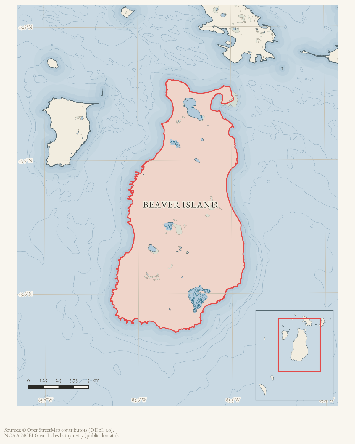
- Beaver Island
- Eras
- Modern era
- Concepts
- hydrologyenvironmentweathercommunication
- Within
- Beaver Island
Summary
The July 1988 Beaver Beacon reports a Great Lakes Environmental Research Laboratory study of long-term lake levels and future change. It records the July 1 Lake Michigan level as 578.83 feet and compares it with historical record highs and lows.
Evidence limits
The article is a local summary of research and a single level observation; it does not replace gauge records or the laboratory’s completed analysis.
Sources
- Reports the Great Lakes Environmental Research Laboratory study of true average levels and future change, and gives Lake Michigan’s July 1 level as 578.83 feet with comparisons to record highs and lows. The holding institution's portal restricts automated access; the archive holds a copy of this issue and can provide it on request.data1 · beaver-island-archive · beaver_beacon · 1988-07_Beaver-Beacon
- The held eighteen-page July issue PDF is paired with the canonical OCR source.data1 · beaver-island-archive · scans · beaver_beacon · issues · 1988-07_Beaver-Beacon
- Reports that the September monthly mean Lake Michigan level was about four inches below the long-term average, eighteen inches below the prior year's level, and expected to continue its seasonal decline into February. The holding institution's portal restricts automated access; the archive holds a copy of this issue and can provide it on request.data1 · beaver-island-archive · beaver_beacon · 1988-11_Beaver-Beacon
- The held eighteen-page November issue PDF is paired with the canonical OCR source and confirms the lake-level update.data1 · beaver-island-archive · scans · beaver_beacon · issues · 1988-11_Beaver-Beacon
Added 4 August 2026 · revised 6 August 2026. Recent changes
Cite this article
Beaver Island Archive, “Great Lakes laboratory studies typical lake levels and future change, 1988”, https://beaverislandarchive.org/events/beaver-island-lake-michigan-levels-research-1988/, accessed [date], citing “Lake Michigan Levels,” Beaver Beacon, July 1988. (and 3 further sources listed on the page).
Last revised 2026-08-06. Fill in [date] with the date you read it — this page is static and cannot know that.
BibTeX for “Great Lakes laboratory studies typical lake levels and future change, 1988”RIS for “Great Lakes laboratory studies typical lake levels and future change, 1988”