

- Dates
- 2014-07-08 – 2014-07-12
- Kind
- Road closure
- Where
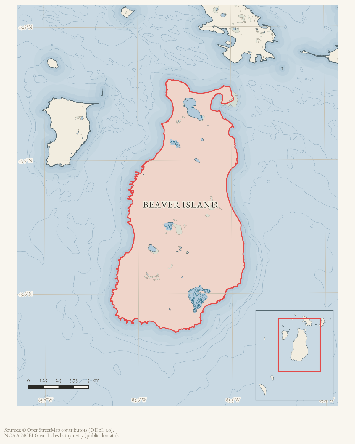
- Beaver Island
- Eras
- Modern era
- Concepts
- transportationinfrastructurepublic-service
- Within
- Beaver Island
Summary
On July 8, 2014, forum participants reported that Kings Highway was closed between the McCauley Road/Paid Een Ogg area and Sloptown, and complained that drivers encountered the closure without sufficient advance signs. WVBI later reported the road temporarily open on July 12, while warning that work might resume the following Monday.
Evidence limits
This is firsthand resident and community-broadcast reporting with a correction to the closure limits; it is useful evidence of changing access conditions but not an official road-commission notice, precise closure duration, or construction report.
Sources
- A participant hoped the road would reopen for the weekend; WVBI then reported it open on Saturday, with possible work-related closure again on Monday. This is a contemporaneous operational bulletin, not a road-commission notice or complete closure log.forum · www.beaverislandforum.com · 07 · t007690
- Residents reported that Kings Highway was closed and that signs were insufficient; the reported limits were corrected in follow-up from Paid Een Ogs to McCauley Road and Sloptown. This is firsthand community evidence of a road-access condition, not an official closure notice or engineering record.forum · www.beaverislandforum.com · 07 · t007669
Added 7 August 2026. Recent changes
Cite this article
Beaver Island Archive, “Beaver Island forum reports Kings Highway closure and inadequate detour signage, July 2014”, https://beaverislandarchive.org/events/beaver-island-kings-highway-closure-july-2014/, accessed [date], citing Gillespie and WVBI, "Kings Highway," Beaver Island Forum, July 11–12, 2014. (and 1 further source listed on the page).
Last revised 2026-08-07. Fill in [date] with the date you read it — this page is static and cannot know that.
BibTeX for “Beaver Island forum reports Kings Highway closure and inadequate detour signage, July 2014”RIS for “Beaver Island forum reports Kings Highway closure and inadequate detour signage, July 2014”