

- Date
- 1996-03
- Kind
- Transportation
- Where
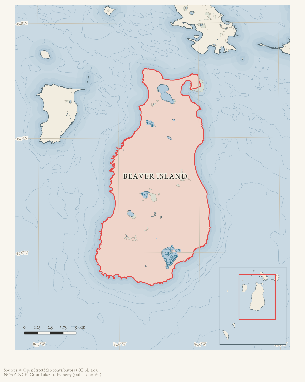
- Beaver Island
- Eras
- Modern era
- Concepts
- transportationcommunicationrecreationweather
- Within
- Beaver Island
Summary
Rich Gillespie and Bud Martin used an aircraft, digital compass, cellular phone, and GPS navigator to plan and support a long snowmobile trip from Beaver Island toward Mackinaw City across changing winter ice.
Evidence limits
This is a humorous first-person-style newspaper account, not a GPS track or incident report.
Sources
- Describes Bud Martin’s aircraft-based ice-course planning, Finnish digital compass, cellular phone, and GPS navigator during a roughly 100-mile snowmobile trip toward Mackinaw City. The holding institution's portal restricts automated access; the archive holds a copy of this issue and can provide it on request.data1 · beaver-island-archive · beaver_beacon · 1996-04_Beaver-Beacon
- The held issue scan confirms the snowmobile report.data1 · beaver-island-archive · scans · beaver_beacon · issues · 1996-04_Beaver-Beacon
Added 5 August 2026. Recent changes
Cite this article
Beaver Island Archive, “Beaver Islanders use aircraft mapping, GPS, and cellular phones on a Mackinaw City snowmobile trip in 1996”, https://beaverislandarchive.org/events/beaver-island-high-tech-snowmobiling-mackinaw-trip-1996/, accessed [date], citing Beaver Beacon, April 1996, “High-Tech Snowmobiling!?” (and 1 further source listed on the page).
Last revised 2026-08-05. Fill in [date] with the date you read it — this page is static and cannot know that.
BibTeX for “Beaver Islanders use aircraft mapping, GPS, and cellular phones on a Mackinaw City snowmobile trip in 1996”RIS for “Beaver Islanders use aircraft mapping, GPS, and cellular phones on a Mackinaw City snowmobile trip in 1996”