

- Date
- 1874
- Eras
- Irish era
- Concepts
- cartographymaritimesurveying
- Within
- Beaver Island
Summary
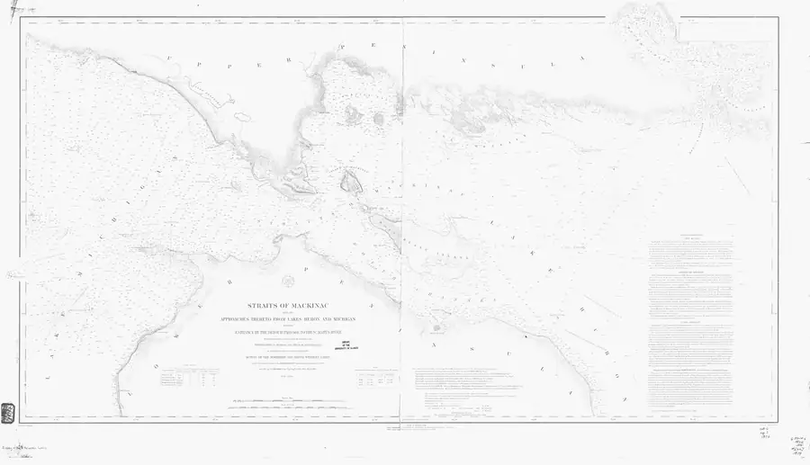
STRAITS OF MACKINAC WITH THE APPROACHES THERETO FROM LAKES HURON AND MICHIGAN ENTRANCE BY THE DETOUR PASSAGE TO THE ST MARYS RIVER — a chart held by NOAA Office of Coast Survey, dated 1874.
Rights
public-domain / NoC-US. Public domain (NOAA Office of Coast Survey) No licence is asserted: this is a copyright status, not a grant.
Open questions
None outstanding — this is a catalogue stub. Prose, subject links and depicts relations have not been written yet.
Sources
- Catalogue metadata from the holding institution; retrieved 2026-07-28.federal · noaa_charts · images · 1874_STRAITS-OF-MACKINAC-WITH-THE-APPROACHES-THERETO-FROM-LAKES-HURON-AND-M_6-4-1874

Added 3 August 2026 · revised 4 August 2026. Recent changes
Cite this article
Beaver Island Archive, “STRAITS OF MACKINAC WITH THE APPROACHES THERETO FROM LAKES HURON AND MICHIGAN ENTRANCE BY THE DETOUR PASSAGE TO THE ST MARYS RIVER”, https://beaverislandarchive.org/documents/historical-map-straits-of-mackinac-with-the-approaches-thereto-from-la/, accessed [date], citing NOAA Office of Coast Survey, STRAITS OF MACKINAC WITH THE APPROACHES THERETO FROM LAKES HURON AND MICHIGAN ENTRANCE BY THE DETOUR PASSAGE TO THE ST MARYS RIVER.
Last revised 2026-08-04. Fill in [date] with the date you read it — this page is static and cannot know that.
BibTeX for “STRAITS OF MACKINAC WITH THE APPROACHES THERETO FROM LAKES HURON AND MICHIGAN ENTRANCE BY THE DETOUR PASSAGE TO THE ST MARYS RIVER”RIS for “STRAITS OF MACKINAC WITH THE APPROACHES THERETO FROM LAKES HURON AND MICHIGAN ENTRANCE BY THE DETOUR PASSAGE TO THE ST MARYS RIVER”