

Chart
- Date
- 1895
- Eras
- Irish era
- Concepts
- cartographymaritimesurveying
- Within
- Beaver Island
Summary
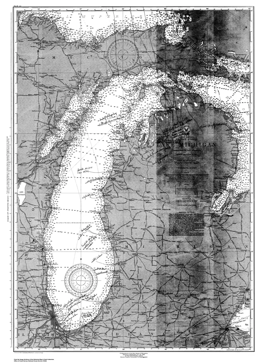
Lake Michigan — a chart held by NOAA Office of Coast Survey, dated 1895.
Rights
public-domain / NoC-US. Public domain (NOAA Office of Coast Survey) No licence is asserted: this is a copyright status, not a grant.
Open questions
None outstanding — this is a catalogue stub. Prose, subject links and depicts relations have not been written yet.
Sources
- Catalogue metadata from the holding institution; retrieved 2026-07-28.federal · noaa_charts · images · 1895_Lake-Michigan-Lake-Michigan_LKMICH

Added 3 August 2026 · revised 4 August 2026. Recent changes
Cite this article
Beaver Island Archive, “Lake Michigan”, https://beaverislandarchive.org/documents/historical-map-lake-michigan-1895-c8a834/, accessed [date], citing NOAA Office of Coast Survey, Lake Michigan.
Last revised 2026-08-04. Fill in [date] with the date you read it — this page is static and cannot know that.