

Atlas · access and infrastructure
Outer-island access plates
Garden, High, Hog, Whiskey, North Fox, and South Fox each receive a separate mapped-context frame. Consult the relevant owner or operator before relying on any access information.
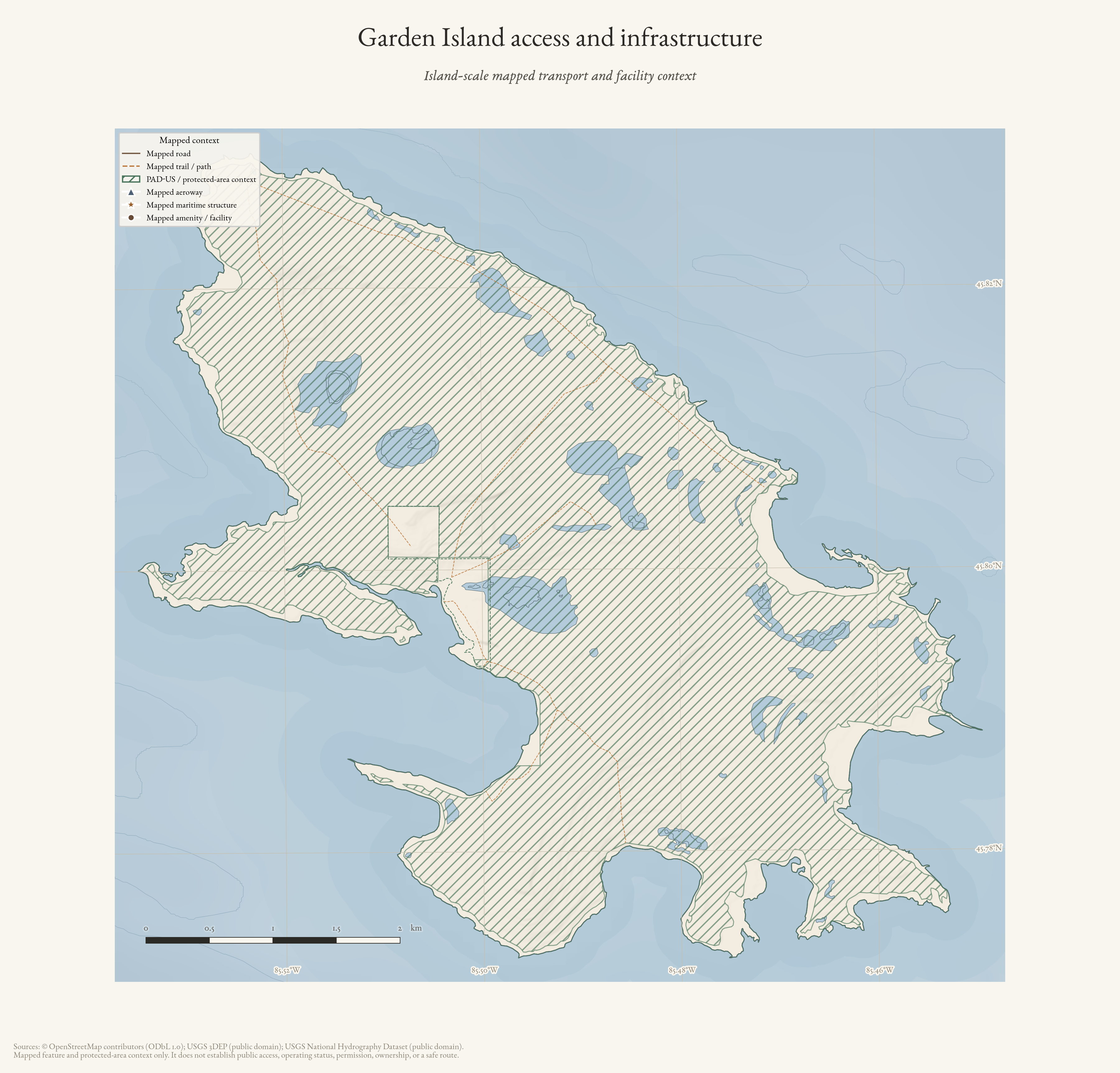
Garden Island access and infrastructure
Island-scale mapped transport, facility, and protected-area context for Garden Island; not an access-rights map.
Drawn from the archive's own data in EPSG:3078. Map data © OpenStreetMap contributors (ODbL 1.0); PAD-US protected-area context and USGS 3DEP (public domain).
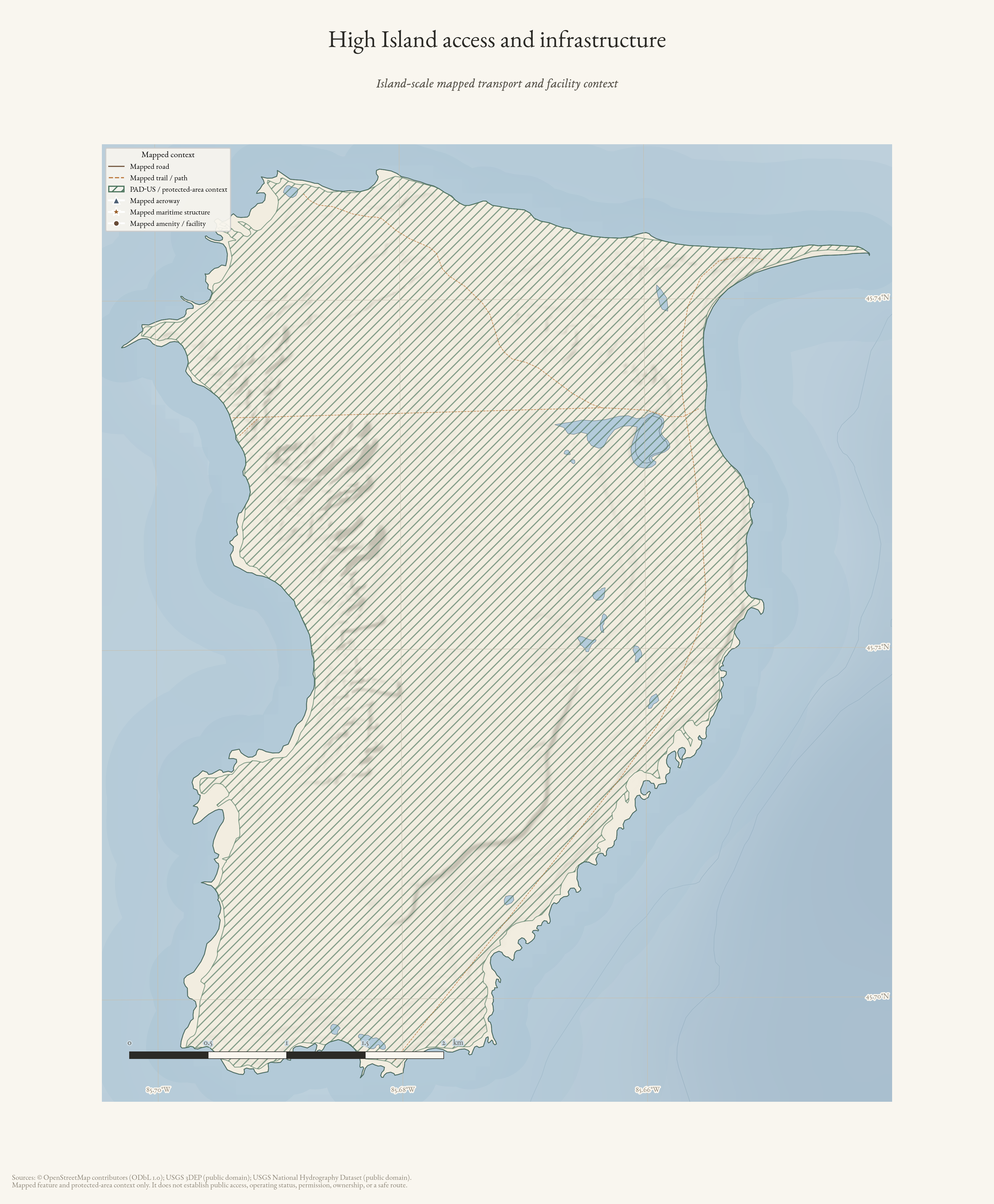
High Island access and infrastructure
Island-scale mapped transport, facility, and protected-area context for High Island; not an access-rights map.
Drawn from the archive's own data in EPSG:3078. Map data © OpenStreetMap contributors (ODbL 1.0); PAD-US protected-area context and USGS 3DEP (public domain).
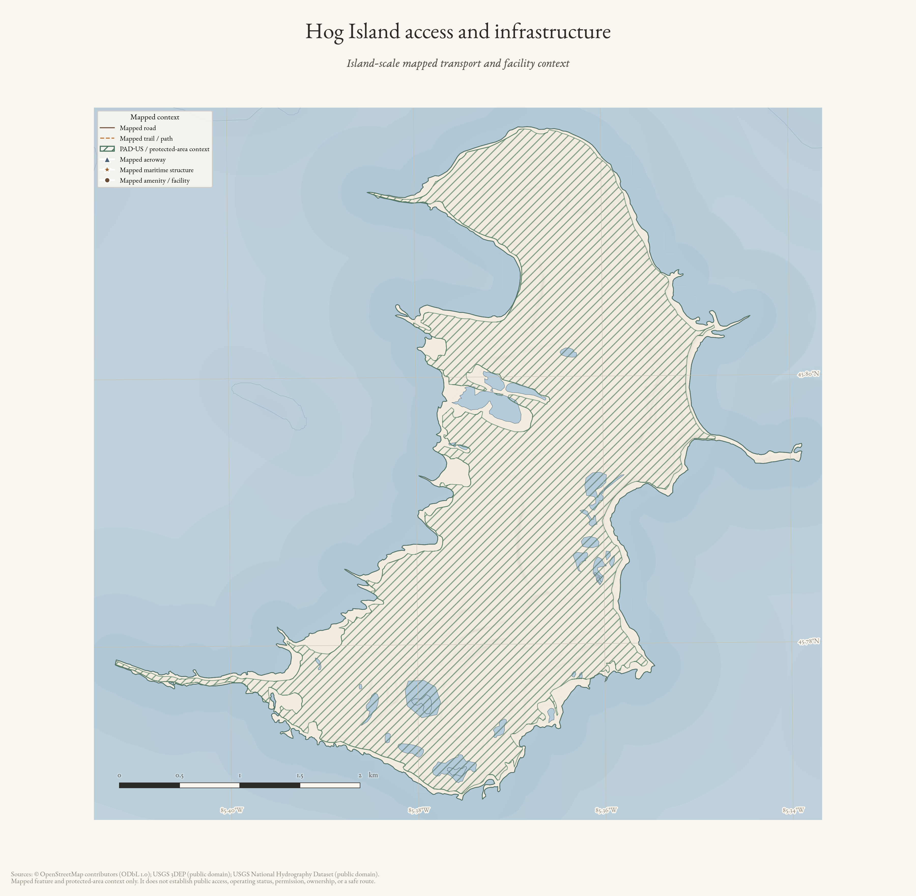
Hog Island access and infrastructure
Island-scale mapped transport, facility, and protected-area context for Hog Island; not an access-rights map.
Drawn from the archive's own data in EPSG:3078. Map data © OpenStreetMap contributors (ODbL 1.0); PAD-US protected-area context and USGS 3DEP (public domain).
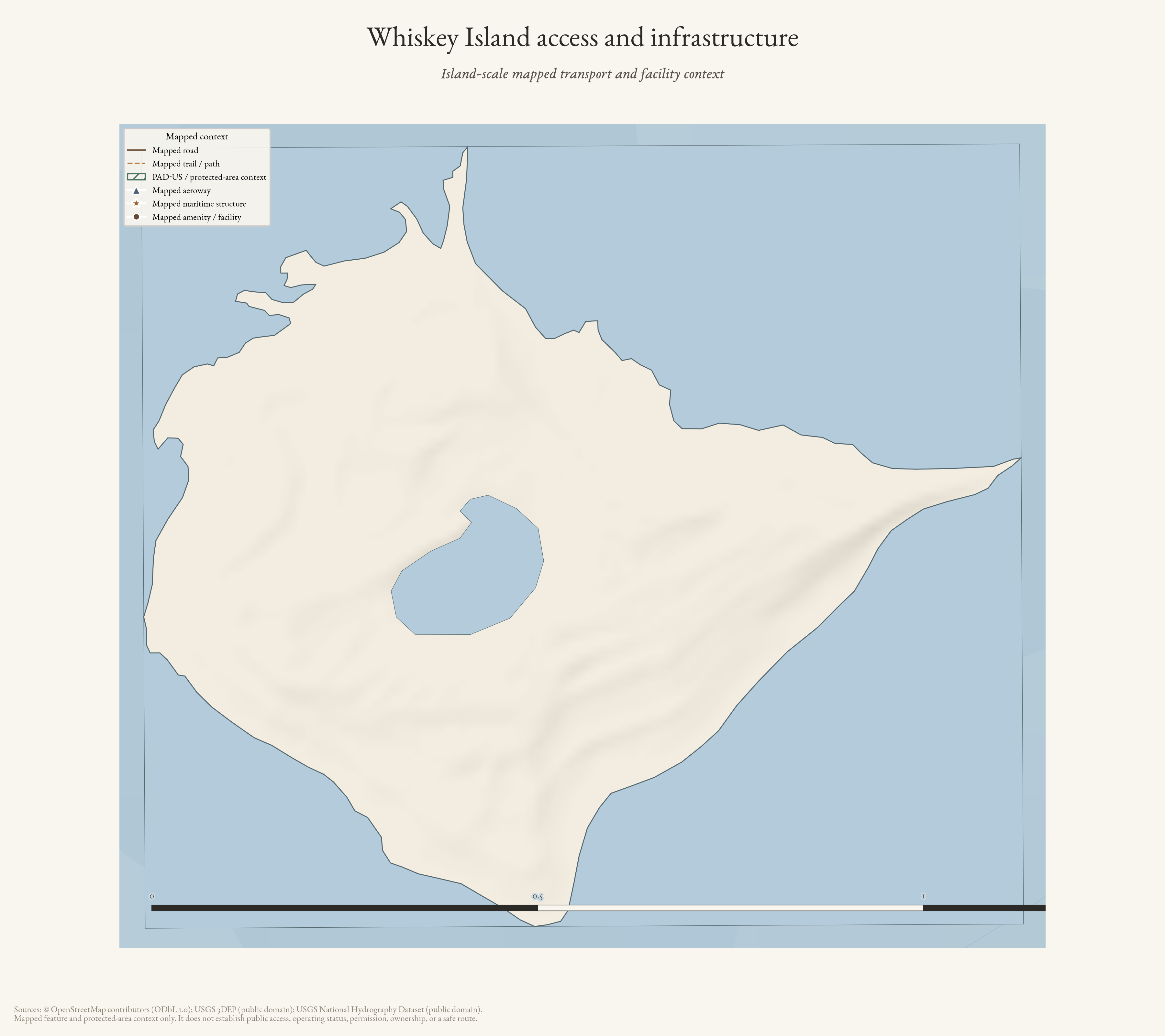
Whiskey Island access and infrastructure
Island-scale mapped transport, facility, and protected-area context for Whiskey Island; not an access-rights map.
Drawn from the archive's own data in EPSG:3078. Map data © OpenStreetMap contributors (ODbL 1.0); PAD-US protected-area context and USGS 3DEP (public domain).
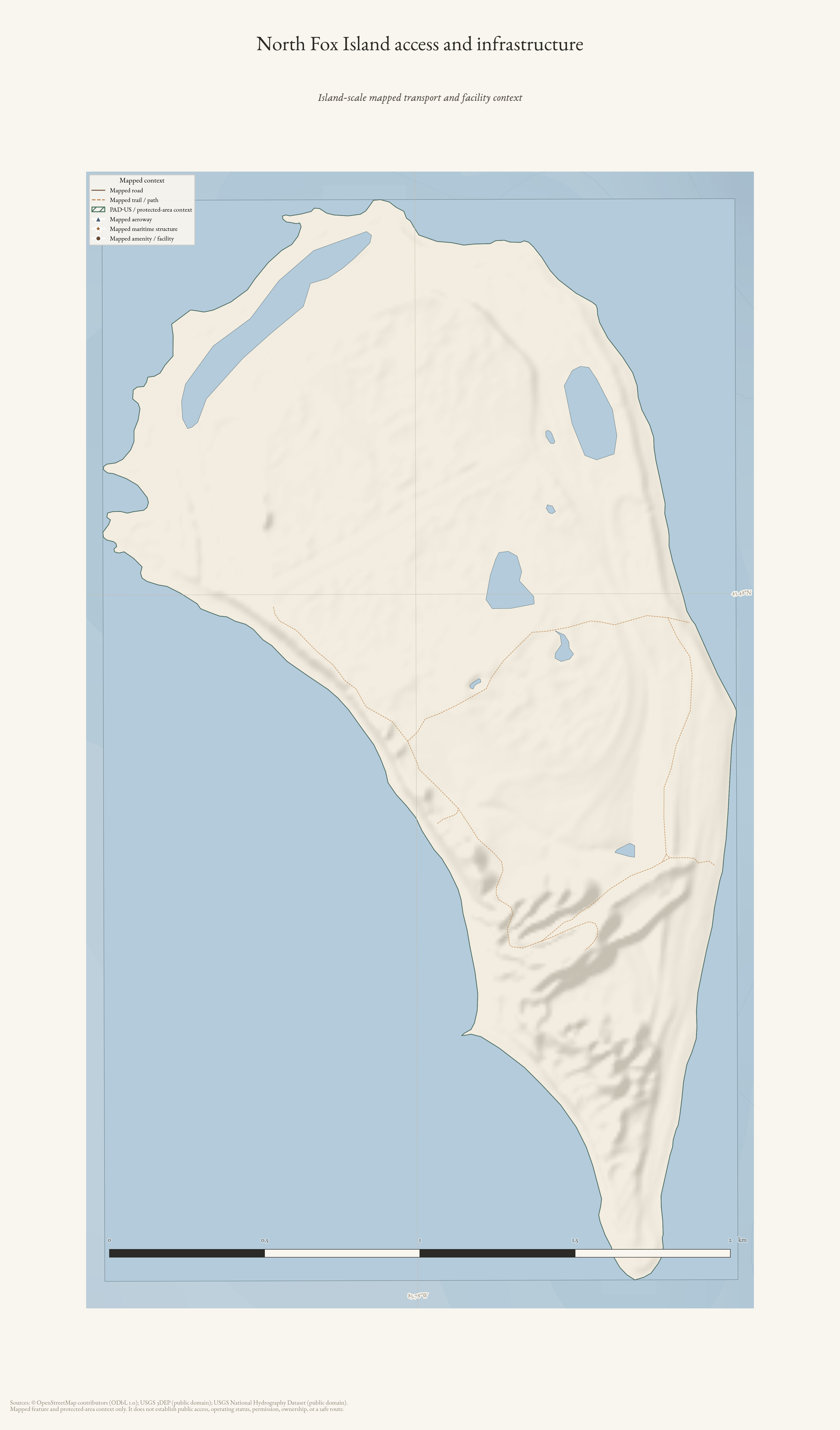
North Fox Island access and infrastructure
Island-scale mapped transport, facility, and protected-area context for North Fox Island; not an access-rights map.
Drawn from the archive's own data in EPSG:3078. Map data © OpenStreetMap contributors (ODbL 1.0); PAD-US protected-area context and USGS 3DEP (public domain).
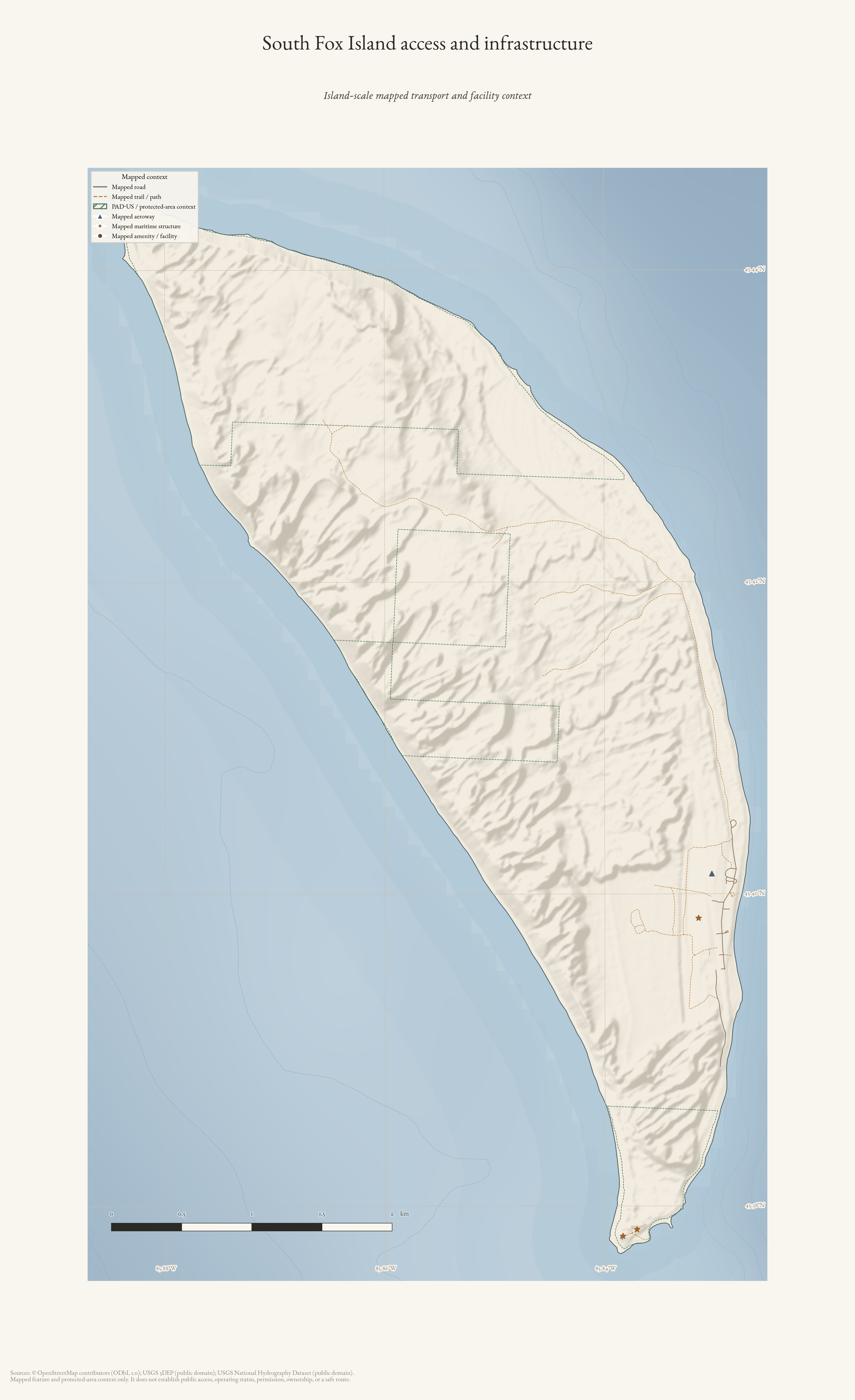
South Fox Island access and infrastructure
Island-scale mapped transport, facility, and protected-area context for South Fox Island; not an access-rights map.
Drawn from the archive's own data in EPSG:3078. Map data © OpenStreetMap contributors (ODbL 1.0); PAD-US protected-area context and USGS 3DEP (public domain).